50 Types of Construction Drawings:
Part 4 (Civil Site Drawings)
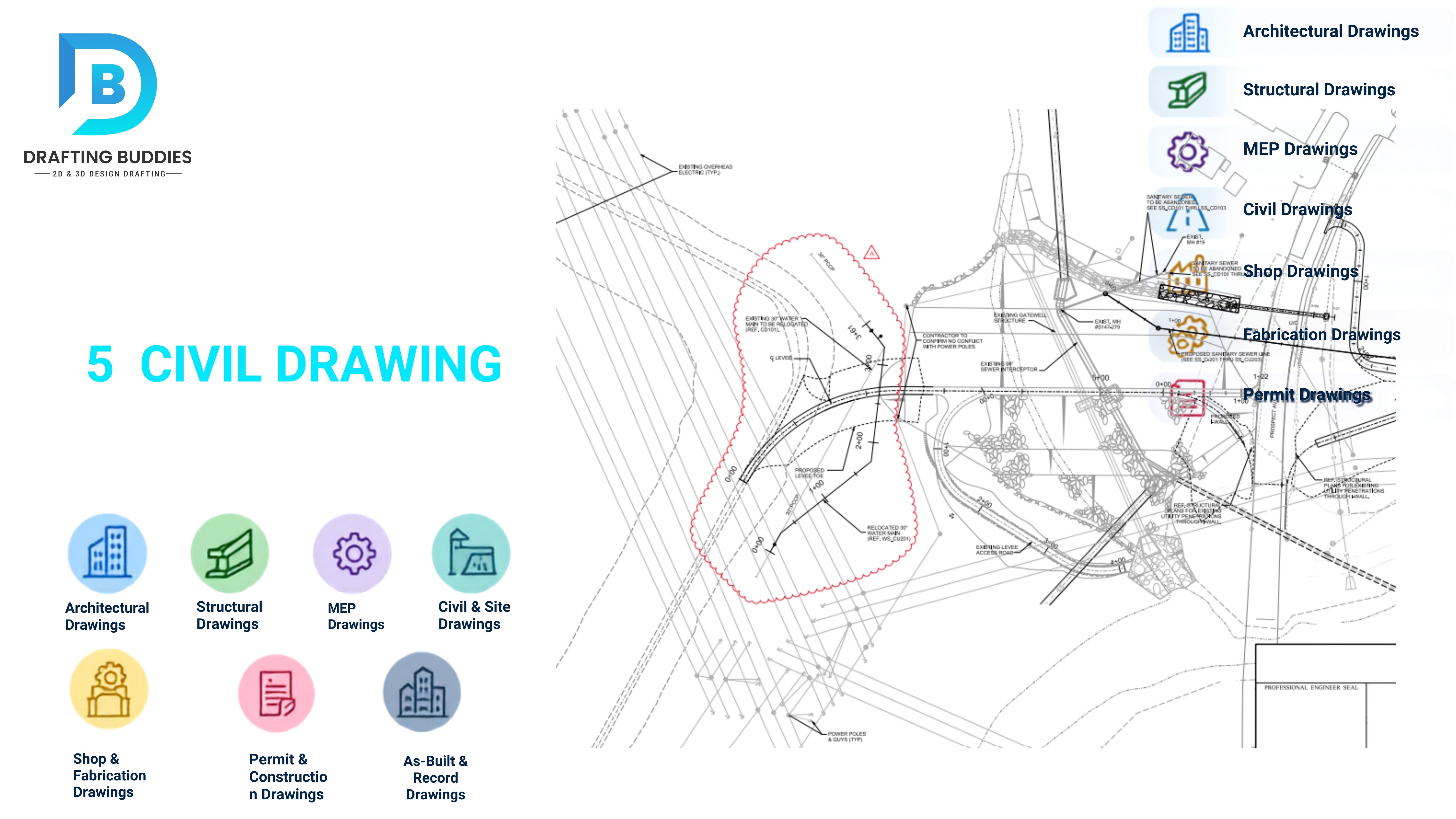
Everything outside the building's four walls is civil and site work - grading, drainage, utilities, and landscaping. These 8 types determine how water moves and utilities reach the building.
- 37.
Grading Plan
Shows existing and proposed ground elevations.
Example: a grading plan for a sloped commercial site.
Common mistake: Grading that directs water toward the building instead of away from it.
- 38.
Drainage Plan
Shows stormwater flow, catch basins, and pipe routing.
Example: a drainage plan for a parking lot's runoff system.
Common mistake: Undersized drainage pipe that can't handle peak storm events, causing flooding.
- 39.
Utility Plan
Shows water, sewer, gas, and electrical service lines to the building.
Example: a utility plan for a new subdivision.
Common mistake: Utility routing that conflicts with tree preservation requirements or other site constraints.
- 40.
Erosion & Sediment Control Plan
Shows measures to control soil runoff during construction.
Example: a silt fence layout for a construction site.
Common mistake: Control measures shown on paper but not actually field-adjusted as construction phases change.
- 41.
Paving / Site Layout Plan
Shows roads, sidewalks, parking, and curb layout.
Example: a site layout plan for a shopping center.
Common mistake: Parking counts that don't meet the zoning-required minimum for the building's use.
- 42.
Landscape Plan
Shows planting layout, hardscape, and site amenities.
Example: a landscape plan for a corporate campus.
Common mistake: Plant selections that don't match the local climate zone, leading to high maintenance costs.
- 43.
Irrigation Plan
Shows sprinkler zones and piping for landscape watering.
Example: an irrigation plan for a golf course clubhouse.
Common mistake: Irrigation zones that don't align with the actual planting plan.
- 44.
Survey / Topographic Drawing
Shows existing site conditions, boundaries, and elevations before design begins.
Example: a topo survey used as the base for a new site plan.
Common mistake: Designing off an outdated survey that doesn't reflect recent site changes.
Why civil drawings set the boundaries everyone else works within
The architectural building sits inside a site that civil drawings define. A civil drawing set that's off by even a small margin can force a redesign of the building footprint itself.